| Home | Sign up for Highlander Newsletter | Order Free Brochures and & More Info | Purchase Unique Gifts, Books, Photos & Artwork |

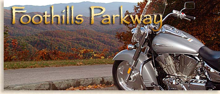
If you can’t get enough the Great Smoky Mountain’s scenic drives or you just want to view them from another perspective at a much lower altitude, then your going to love the Foothills Parkway. The views from these lower mountain ridges are spectacular. The Foothills Parkway takes visitors above the treetops and foothills from the valley below, offering incredible mountain vistas across the entire face of the Great Smoky Mountains National Park.
The views along the foothills are great all year long, any time of the day. A good time to view the Smoky Mountains from the Foothills Parkway is in the early evening when weather and visibility permits. At this time of the day, light along the mountain ranges caused by the setting sun enhances the giant folds of the mountain range creating a display of light and shadow along the rugged slopes.
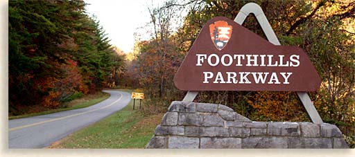
 Approved by Congress in 1944 the Foothills Parkway located in the mountainous foothills of the Tennessee Valley, mostly travels below and parallel to the Great Smoky Mountains. The Parkway route allows for RV’s and trailers as well. This scenic mountain drive is an experience you’ll want to make time for.
Proposed the to be routed through Sevier, Blount and Cocke Counties, only two sections of the constructed Parkway along the high ridges overlooking the Smoky Mountains have been completed. There are 4 sections to the Parkway, 3 are currently completed.
FOOTHILLS PARKWAY WEST: This 17-mile long section of the Parkway travels along the backbone of the Chilhowee Mountain between Chilhowee Lake and the town of Townsend in Blount County. From this advantage point you can not only view the beauty of the Great Smoky Mountain National Park to the southeast, visitors can also enjoy views of the huge and grand valley lands of the Tennessee River Valley bordered by the long plateau of the Cumberland Mountains to the northwest.
Hiking is available to a lookout tower; you can pick up the 15-minute trail hike at the Look Rock overlook along the Parkway. Two lakes are located along this section of the Foothills Parkway, the Chilhowee Lake located at the southern end of the Parkway and Lake of the Sky. The Chilhowee Dam that holds back the waters of Little Tennessee River created Chilhowee Lake the larger of the two lakes. Lake in the Sky is a small mountain lake located in Happy Valley between Chilhowee Mountain and the Great Smoky Mountains. The Foothills Parkway West is the longest completed section of the Foothills Parkway system.
FOOTHILLS PARKWAY EAST: This 5.5 mile section of the Parkway is in Cocke County cradled just below the Great Smoky Mountains National Park. You can pick up the Foothills Parkway East near the town of Cosby in Cocke County. The Parkway will take you along the ridge over a lower section of Stone Mountain. Views of the Smoky Mountains National Parks northeastern end are beautiful with the Greenbrier Pinnacle, Mount Guyot and Mount Cammerer towering above.

To the northwest of the Parkway across a small valley is English Mountain rising from the Tennessee Valley floor with Stone Mountain to the northeast. This 5.5-mile section of the Foothills Parkway ends at Interstate 40 in a gap along the lower southern end of Stone Mountain.

FOOTHILLS PARKWAY SPUR: This approximately 5-mile section of the Parkway is the most traveled amongst the 4 sections of the Foothills Parkway. Located in Sevier County this section connects the towns of Gatlinburg and Pigeon Forge. This spur travels between ridge tops rather than over them as compared to the other sections of the Parkway that use only ridge tops. The West Prong of the Little Pigeon River cut the original path thru these steep foothill mountains. The 4-lane highway known as the Parkway is divided by the river, running its northward course between the north and south bound traffic, a very beautiful drive making visitors feel as though the just entered the national park. The actual Great Smoky Mountains Park is on the south side of Gatlinburg.
CENTRAL FOOTHILLS PARKWAY: This 16-Mile section of the Parkway lies in wait being that 1.6 miles of ravines and rocky ridges have created an obstacle for its completion. This section of the Foothills Parkway travels from Walland in Blount County to Wear Valley in Sevier County. Engineering obstacles and environmental issues have put a hold on this section of the Parkway. Landslides have to be stabilized and ravines have to be crossed, up to 10 bridges will be required for this section. No motorized vehicles are allowed on this uncompleted section of the Parkway. Hikers along with mountain bikers and horseback riders are often seen along the road making the journey to experience the views. Sections of the road along the ridge can be seen from the valley below just a taste of what’s still to come. No date of completion has been set.
the Highlander
Although very enjoyable, the mountains can be a driving challenge to a flatlander (no offense), to help you with your new venture, take a look at our driving tips.
More Scenic Drives for the Blue Ridge Smokey Mountains...
Sign up for the Blue Ridge Highlander Newsletter, Messages from the Mountains
to find out first about our new feature stories, road trips and special offers
Your e-mail addresses will not be sold or given away to anyone.
Privacy Policy
Interested in your business being on the Highlander, click here...
Let our visitors tell you about the Highlander...
Click the feathers to go to the Highlander site
map...

of C. Wayne Dukes and Sherry Bell Dukes. 1996 - 2014, except where otherwise stated. All rights reserved, reproduction,
downloading, and/or duplication of any sort is strictly prohibited, all violations will be prosecuted. Legal Policy.
If you have any questions, or comments, regarding this site, e-mail the Highlander.
