Brasstown Bald Wilderness Area Trails
Arkaqua Trail
This 5.5-mile trail descends westward along a ridge top to the valley below and is either accessible from the back end of the summit parking area atop Brasstown Bald, or across the road from the Track Rock Archaeological Site along Track Rock Road just off US/76 in the valley below.
Hikers along the trail will pass through a northern hardwood forest while viewing scenic outbreaks through the trees. There are wildflowers and various herbs along the way to the Blue Bluff Overlook.
Hikers will also pass Chimney Top Mountain and be able to view Rocky Knob to the south. For most hikers that choose to take on the trail, I personally recommend the descent from the Brasstown Bald mountaintop parking area to the Track Rock Valley below. Providing you have someone pick you up at the bottom of the trail or drop you off at the top of the trail, having a parked vehicle waiting for you.
Brasstown Bald Summit Trail
There are two ways one can reach the upper summit of Brasstown Bald, you can either take a comfortable shuttle trip to the top when the shuttle is operating from Memorial Day thru the end of October, or you can hike the Summit Trail to the top. The shuttle trip does require a modest fee.
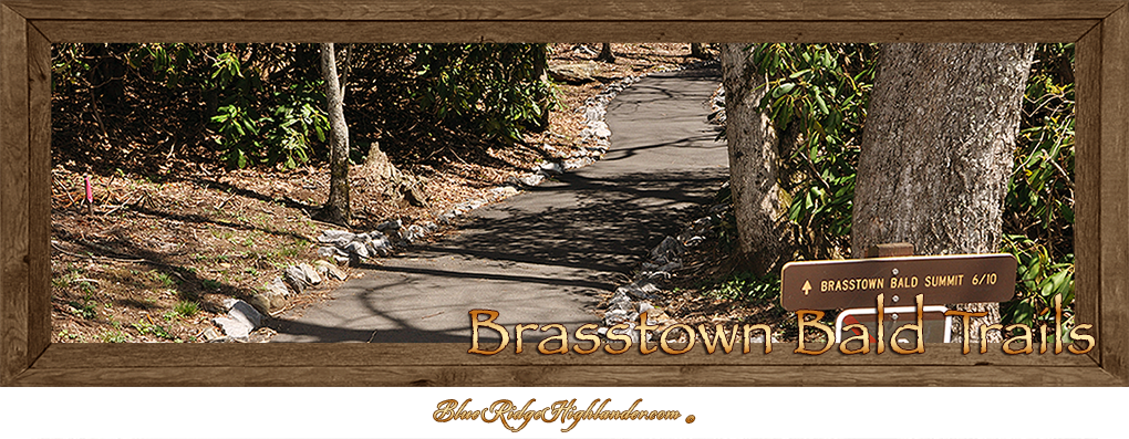
The Brasstown Bald Summit Trail is located next to the Visitor's Center Cabin and is paved to the top. Though inviting at first glance the trail becomes quite steep once you get closer to the top. The good news is the downhill trip is easier on the lungs and leg muscles although harder on the knees. I recommend a good walking stick to lean on, along the way up and extra bracing for the way back down.
Jack’s Knob Trail
This 4.5-mile trail is accessible from Brasstown Bald parking area at the top of the mountain or at the entrance to the Brasstown Bald Wilderness Area next to GA/180.
The trip up to the top from the lower entrance is only half the distance of the trails' full length since the trail crosses GA/180 before continuing on, to where it connects to the Appalachian Trail (white blazed). The upper trailhead is located directly across the parking area from the Visitor's Center Cabin. The ideal hike would be to bring two vehicles leaving one at the entrance parking area and begin your journey from the top down.
Jack’s Knob Trail was originally constructed in the 1930’s by the Civilian Conservation Corps, and then reconstructed by the Chattahoochee Forest Service in the 1980’s.
The trail follows southward along a ridgeline dividing the boundary between Union and Towns County Georgia. It continues along the ridge just west of, and parallel to the ascending paved roadway to the summit of Brasstown Bald. The trail crosses GA/180 at Jack’s Gap, and continues on to the Chattahoochee Gap where it accesses the Appalachian Trail.
Wagon Train Trail
Accessible from the parking area at Brasstown Bald, this 5.6-mile trail follows along a wide path that was originally intended to be a part of GA/66. The trailhead is a little tricky to find at first. To reach the trailhead hikers will need to follow the Brasstown Bald Summit Trail for about 100-yards. The Wagon Train Trail is located on the right marked by a plaque.
The stress rating for this trail is moderate to strenuous depending on if you're going up or down the mountain. The trail either finishes or begins in the valley below just 2 miles south of the town of Young Harris GA.
Even though the trail offers a grade suitable for a roadway, I would recommend hiking the trail from top to bottom for a more enjoyable experience providing you have an extra vehicle waiting for you at the trail's end. The trail offers great views especially in early spring or late autumn when views are less obstructed by leaves. The trail also follows past cliff formations and through upper boulder fields featuring rock tripe, lichens, club moss, reindeer moss and old man’s beard.
Seasonal wildflowers such as mountain buttercups, white and purple violets and four varieties of trillium, to mention just a few, line the forest trail in places.
The Wagon Train Trail has been used for wagon train excursions by residents from the valley below to the mountain’s natural level parking area near the Summit. It was a means for local mountain folk to hold onto the past and connect with the spirit of their descendants, the pioneers that forged a life out of these rugged mountains. This wagon train quest to the mountaintop has offered a sense of community spirit that stills echoes along the trail.


